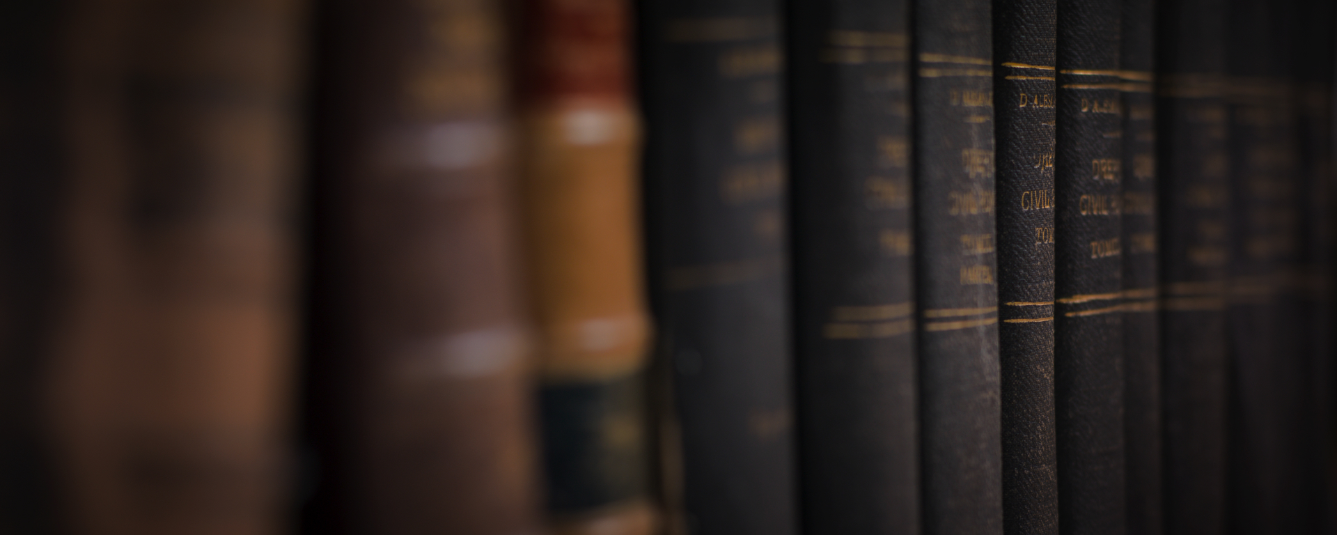

Archival Services.
Eneclann provides professional archive services as well as record and information management.
Digitisation.
Digitisation is one of the most effective ways of opening your collection to a wider audience as well as aiding in preservation.
Heritage Services.
Our historians cover a wide range of periods - research can cover early Gaelic lordships right through to present day. Genealogy, Education & Bespoke services available.
Probate & Legal.
We have a proven track record in legal research and in tracing Irish ancestry through our family history division. Naturalisation & Historic Title services available.
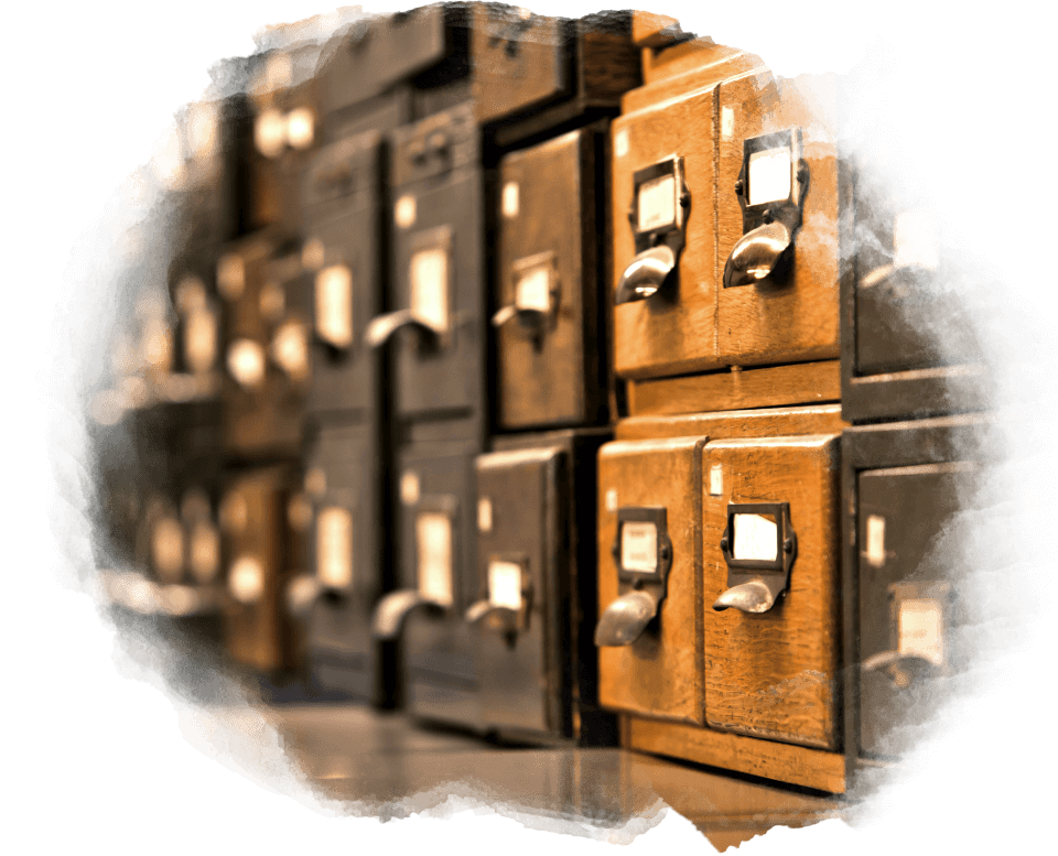
Archives & Records Management.
Working with fully qualified Archivists and Records Managers we provide solutions to your archival and records management issues. Whether it is an appraisal of your needs, creating a catalogue or retention schedule, preservation, or disaster recovery we have the knowledge and experience to successfully complete your project. Contact us to discuss your needs with one of our team.
Learn More
Digitisation.
Digitisation is one of the most effective ways of opening your collection to a wider audience as well as aiding in preservation. Using state of art equipment, best practice and experienced know how we can help you, whether it a 17th century manuscript, a collection of photographs or modern printed material. Contact us for more information.
Learn More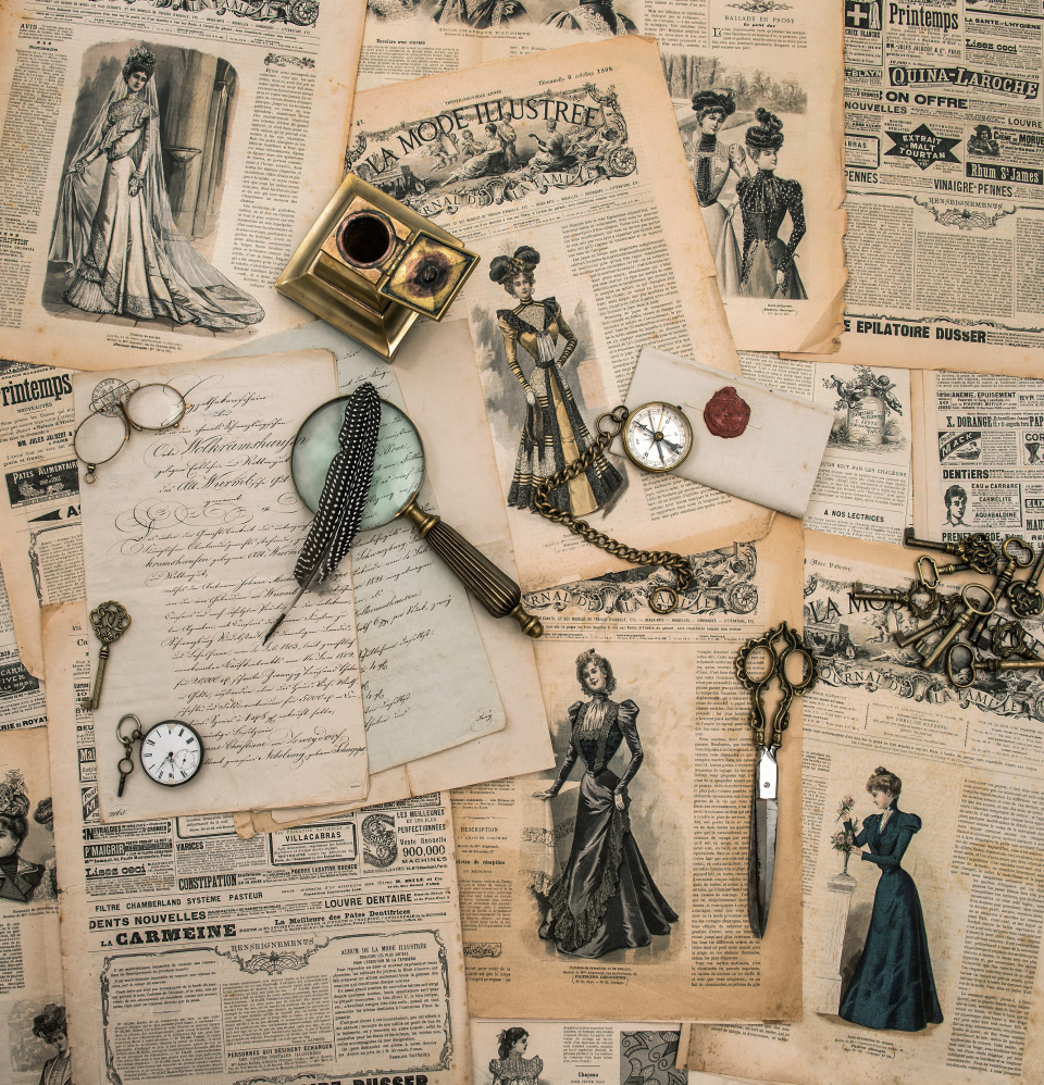
Heritage Projects.
As well as providing standard genealogical and historical research services, we may also be commissioned to undertake bespoke heritage projects for public and private organisations, and individuals.The topics we have researched include everything from institutional to local histories. We are also happy to collaborate with other experts on projects – we have worked with archaeologists, calligraphers and bookbinders.
Learn More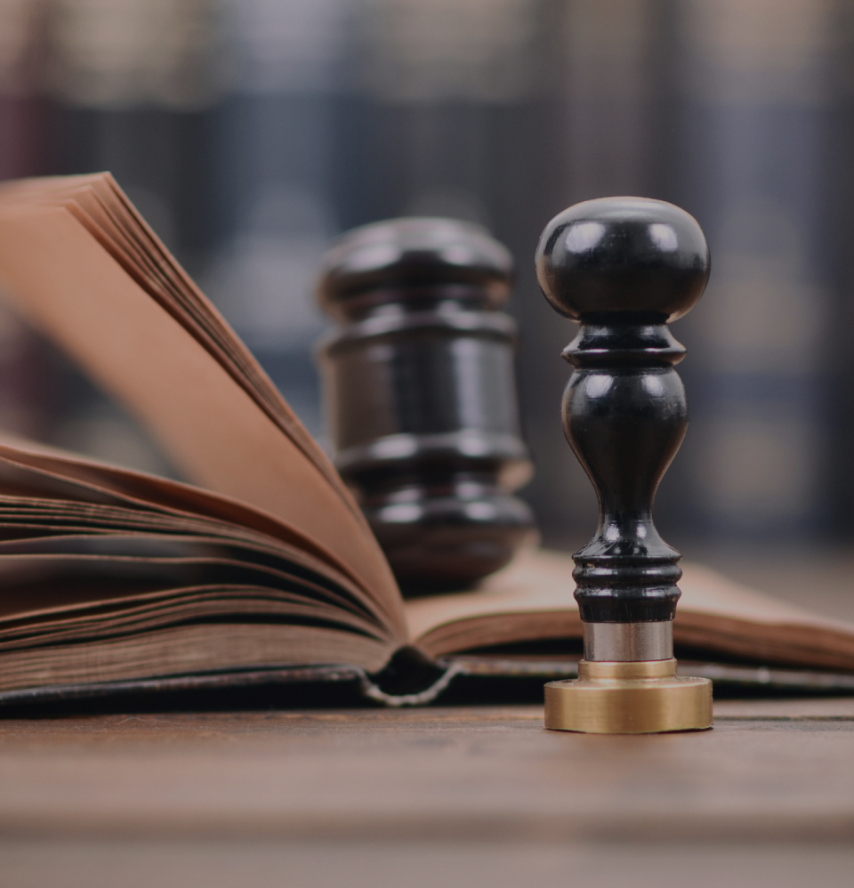
Probate & Legal.
Eneclann’s core research team has been in place since 1998. This continuity has allowed us to develop specialist skills particularly in the areas of title and probate research. We have a proven track record in legal research and in tracing Irish ancestry.
Learn More
National College of Art and Design.
Eneclann has provided the National Irish Visual Arts Library (NIVAL) with expert advice in the management of Special Collections and has delivered a range of archiving services including arranging and indexing, database development, digitisation, and training in archival theory and archiving.
Our Clients.


What’s New?.
A quick round-up of our recent news coming soon.